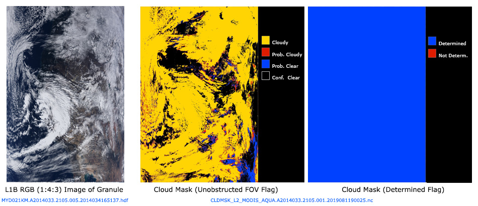
L2 CLDMSK (Cloud Mask) Product Description
The L2 Continuity Cloud Mask product is a Level-2 product generated at 750-m (for VIIRS at nadir) or 1000-m (for MODIS at nadir) spatial resolutions. The algorithm employs a series of visible and infrared threshold and consistency tests to specify confidence that an unobstructed view of the Earth's surface is observed. . A 1-pixel wide cloud adjacency flag is also provided. Radiometrically accurate radiances are required, so holes in the Cloud Mask will appear wherever the input radiances are incomplete or of poor quality. The L2 Continuity Cloud Mask data product file always has a prefix of CLDMSK_L2 and contains data collected from one of two instrument/platform combinations: VIIRS/SNPP or MODIS/AQUA. Shown below are two sample L2 granule images of CLDMSK_L2 Flags: Cloud Mask (Unobstructed Field of View Flag) and Cloud Mask (Determined Flag). A corresponding L1B Granule image is also shown for reference.


